The Anston (North and South) homepage, population circa 11,000 (1991 census)
Mentioned in the Domesday book of 1086, it was then under the control of Roger De Busli. Anston is derived from 'an stan' or single stone (usually the suffix 'ton' means town in saxon english). Wherever the site of the single stone was, it is now unknown.
Anston is really two more or less separate villages separated by the boggy land around Ryton Brook (aka Anston Brook), the busy A57 road, and a railway line. There was once a colliery within the parish called Harry Croft (1924-1930), and there is still an active Harry Croft quarry: There were once 15 quarries in the parish. 8,000 year old flint knives have been found around here.
The map below is a contemporary Google map, and you can tell how much Anston has grown by comparing it to these maps from 1948: Click here for 1948 map N. Anston (108kb download) - click here for 1948 map S. Anston (69kb download)
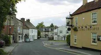
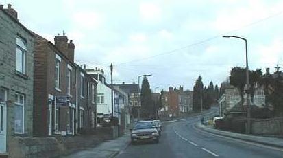
North Anston has also merged into the town of Dinnington, although South Anston is still a distinct village with an old core of stone building orbited by new red brick housing estates. North Anston over Ryton Brook also has an old centre close to lots of new private housing and some pre WW1 terraces built for coal miners when Dinnington Pit was opened in 1908.