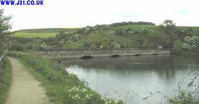
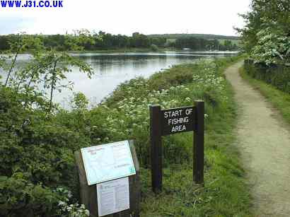
Now called Ulley Country Park by Rotherham Council, it was actually built as a reservoir by damming the valley in 1871. There are two main ponds, the larger one is used for angling and dinghy sailing, the smaller as a nature reserve, their waters flow together through the bridge arches in the top picture. It is now the home of the Ulley Sailing Club and a popular fishing pond and wildlife sanctuary.
In June 2007 it was all over the national news as torrential rainfall and large scale flooding threatened to breach the earth banking dam. The bottom picture shows the watershed of Ulley reservoir (outlined in green), which takes in Aston-cum-Aughton, Brampton en le Morthen, all the way up to Thurcroft.
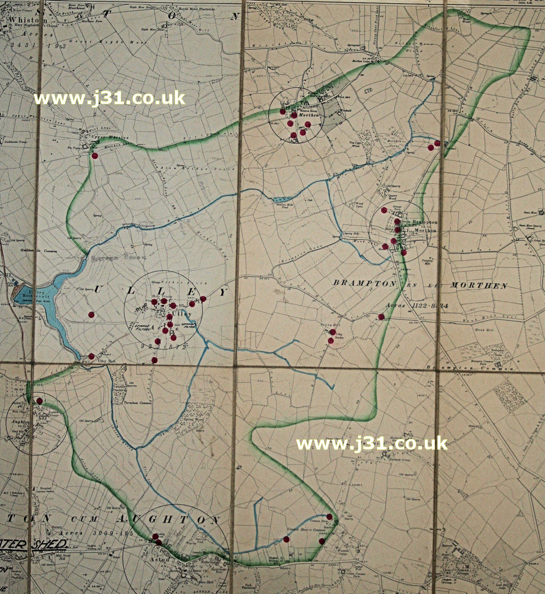
The catchment area show is shown in green, streams (brooks) running into it in blue, and it is taken from a Rotherham Council map of 1905. The red dots are 'pollution points' (I'm guessing = sewer?). Interestingly, there is very little of modern Aston and Aughton, and Thurcroft is basically just Green Harbor Farm - they were all to explode in size over the course of the 20th century.