![]()
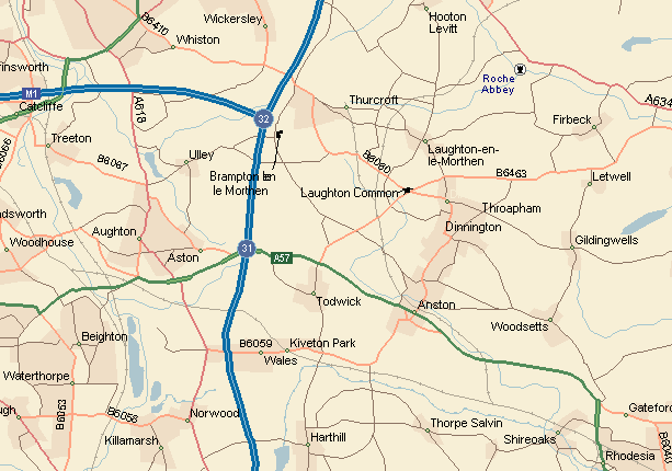
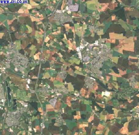
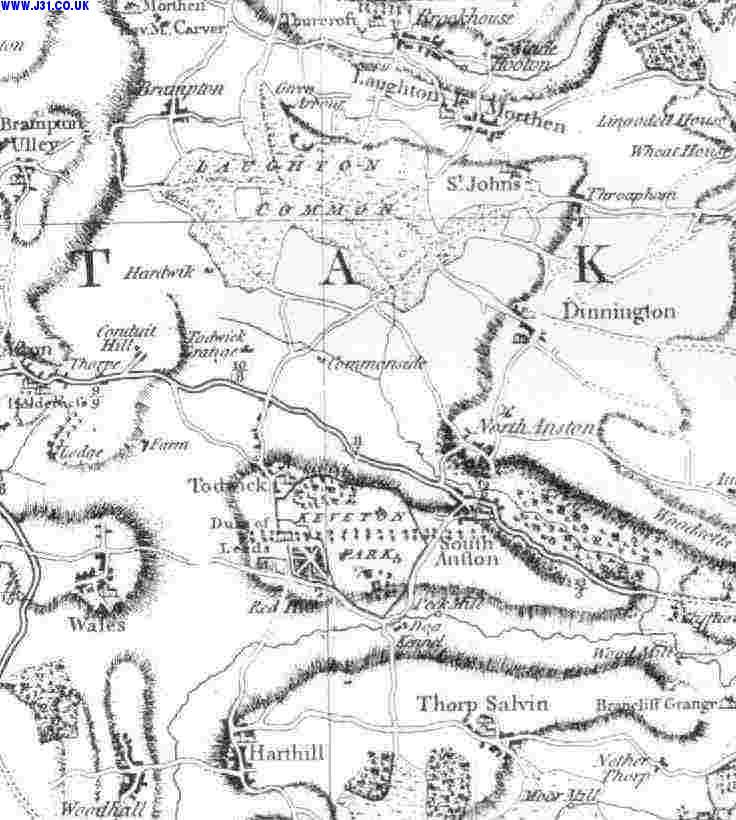
Local Map 1999 + satellite image + aerial photos
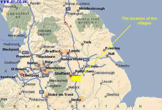
North UK maps 2000 - with villages located
J Grusson took some aerial shots near Thorpe Salvin: Click here to leave J31.CO.UK and go to some aerial photos of this area
Below is a link that takes you to multimap whos maps enable you to put the site into a UK wide context, or zoom in to street level.... Click here to leave J31.CO.UK and go to multimaps interactive UK map of this area
Web design, content, gfx by Techasaurus. Page content copyright Paul Newbold 2010.